
Hiking McCabe and Lyon Creek Trail
These historic trails were built a century ago for prospecting and mining. They followed a gentle grade as much as possible and were dug in to the mountainside where required so horses and other pack animals could use them.
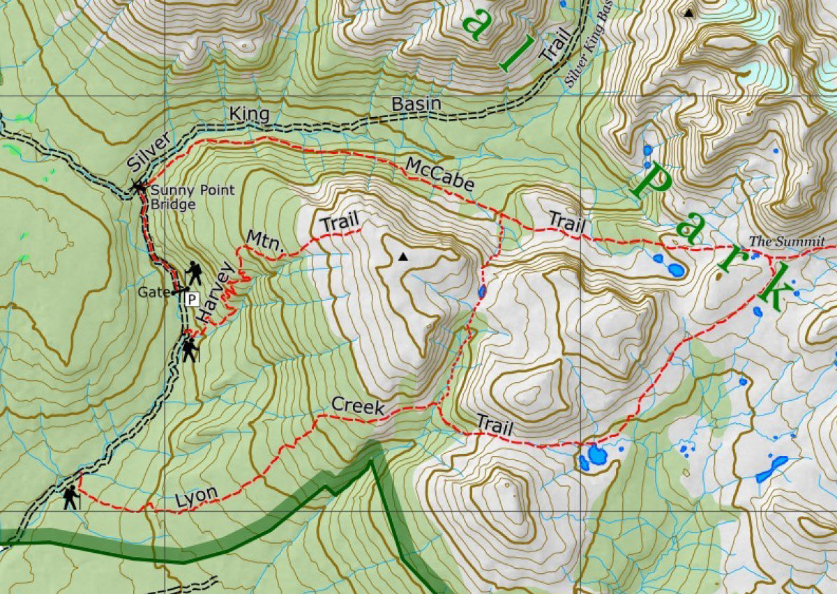
Now part of Babine Mountains Provincial Park, the McCabe and Lyon Creek trails form a convenient loop and can be followed in either direction. It’s possible to hike the whole loop in one day, but with a total distance of some 21 km you should be in good shape before taking it on. This is a beautiful mountain area and it’s well worth planning to spend a night or two along the way, allowing yourself time for exploring.
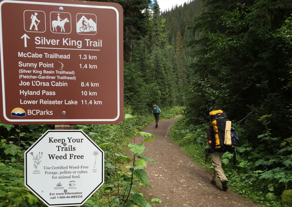
From the parking lot at the head of Driftwood Rd.
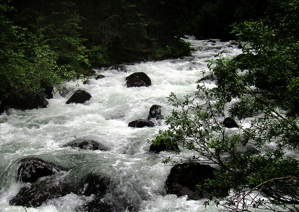
...the trail follows the tumbling whitewater of Driftwood Creek.
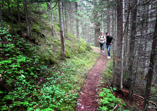
After following Driftwood Creek for 1.3 km, McCabe Trail turns off to the right, climbing steeply up an old mining road for about 100m before joining the old trail. The trail was dug into the mountain slope by hand a hundred years ago and still provides excellent walking.
In places, the trail crosses steep slopes and avalanche tracks, allowing for good views.
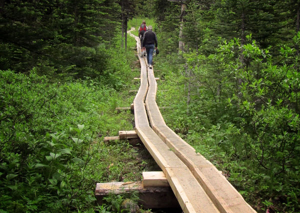
Extensive boardwalks snake through marshy areas along the way.
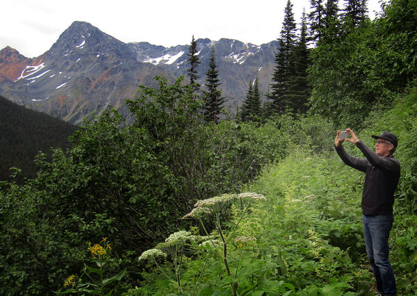
Within a few kilometres the trail emerges into semi-open subalpine with flowery meadows and great mountain views.
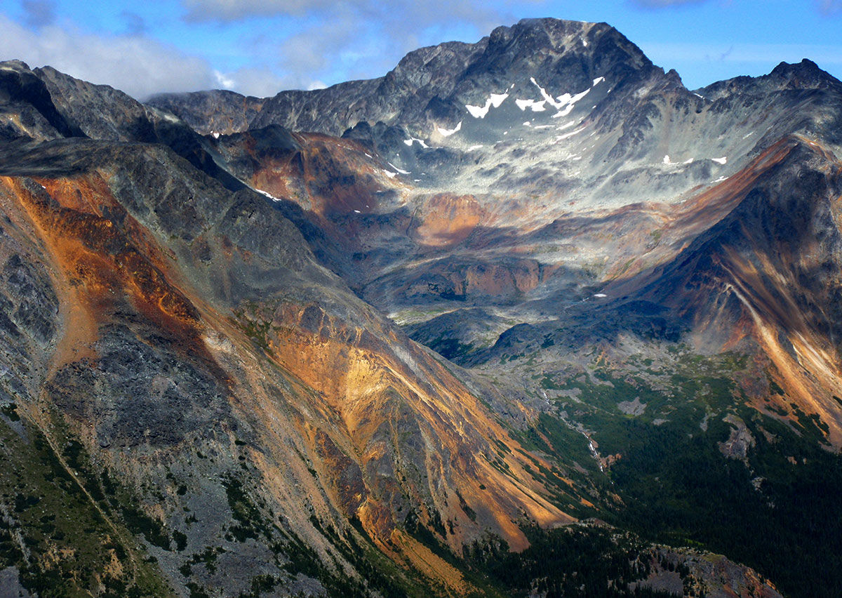
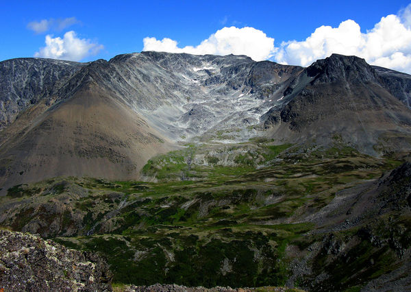
The colourful, mineral-rich peaks and ridges of the Babine Mountains are visible from many vantage points.
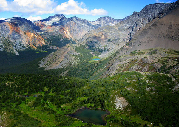
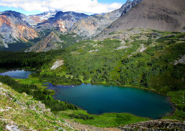
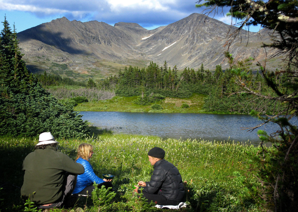
About 8 km from the start of the trail, the Copper Lakes lie nestled among the high peaks of the Babine Mountains. This little basin provides beautiful but rudimentary camping.
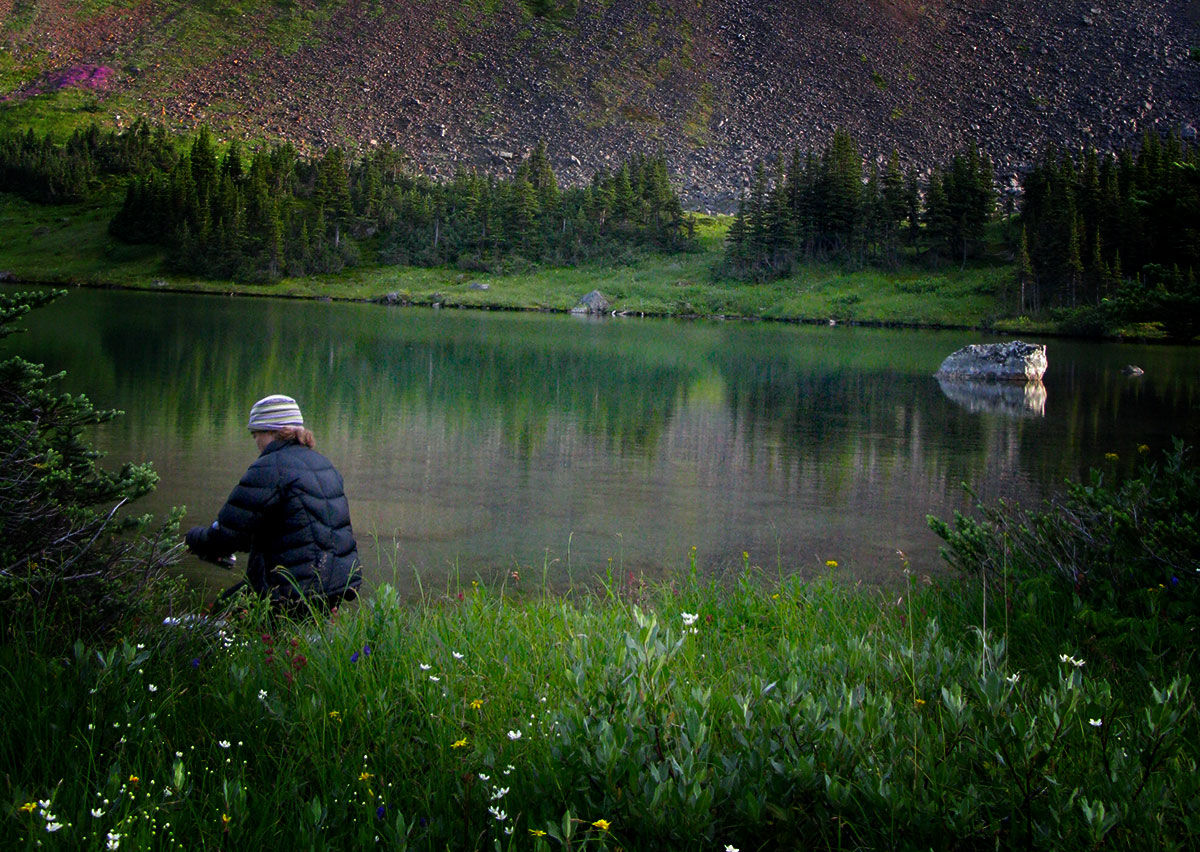
Water is plentiful at this site.

Sunset lights up the rock walls around the Copper Lakes.
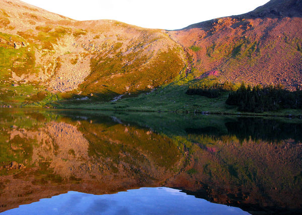
Evening colours at Copper Lakes.
The slopes of Mt Hyland rise above the east side of the trail as it climbs past the Copper Lakes, providing non-technical access to its peak at 2,272 m (7,454 ft).
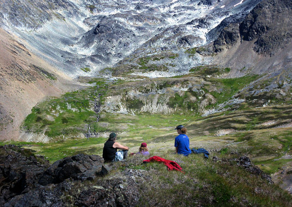
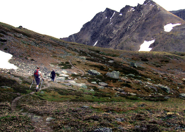
Hikers look down on the upper McCabe Trail from a nearby ridge.
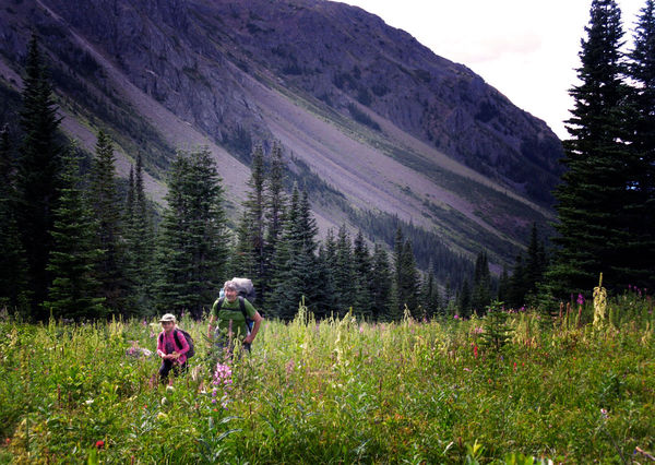
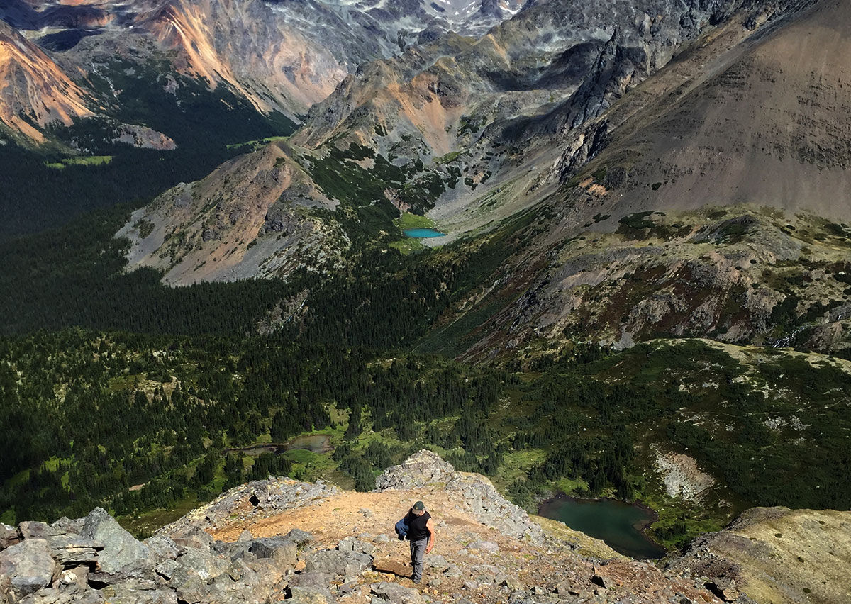
Once you reach the alpine there are many opportunities for exploring on either side of the valley. The surrounding ridges and summits can all be scaled if one is ambitious.
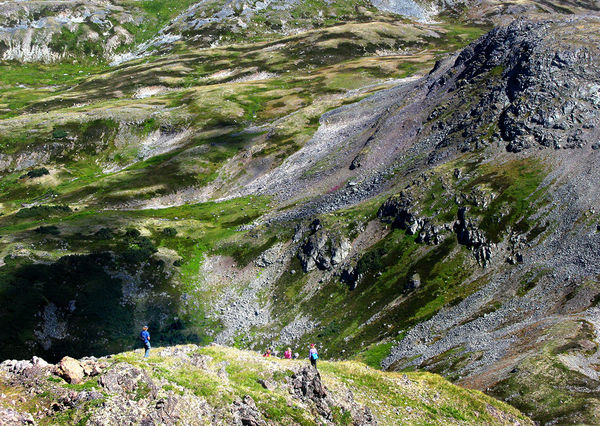
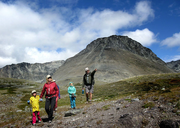
A family returns to their camp after a day-hike above the Copper Lakes.
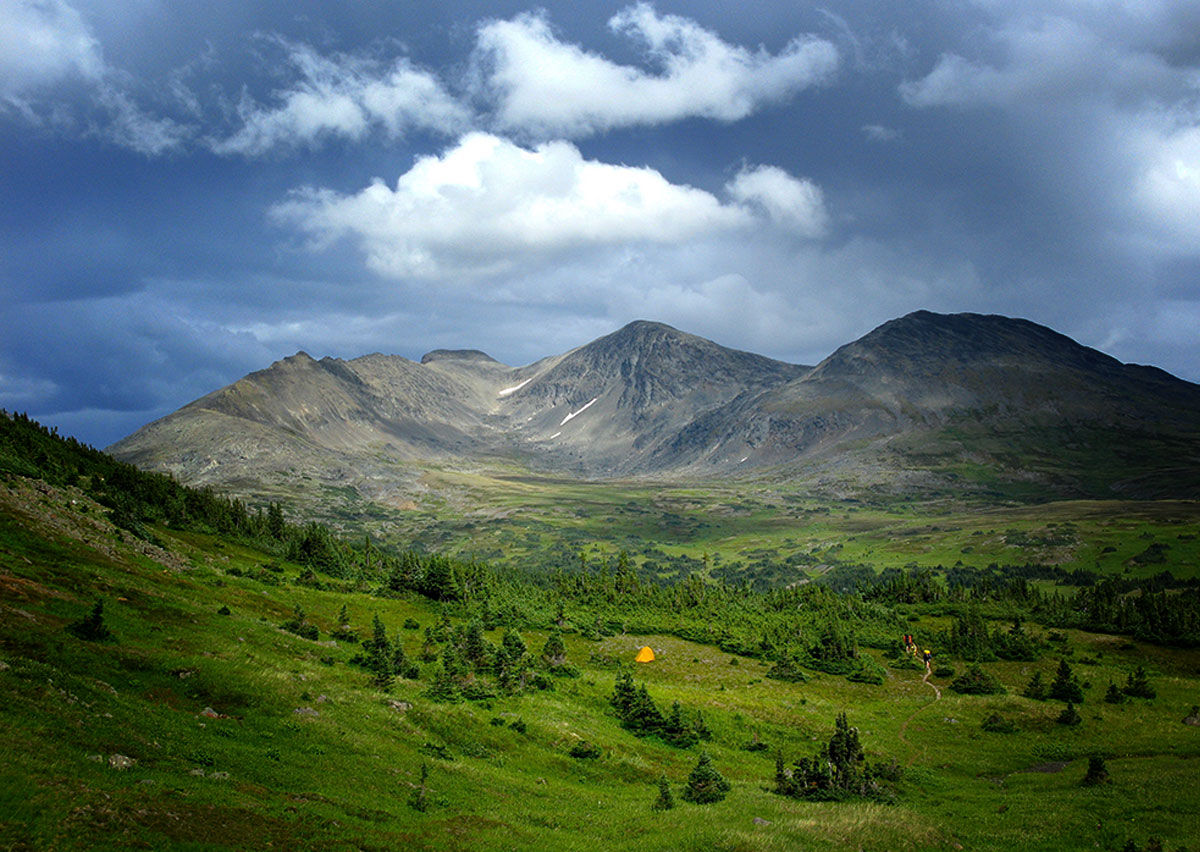
Past the Copper Lakes, the trail climbs steadily as it winds towards its highest point at Summit Pass.
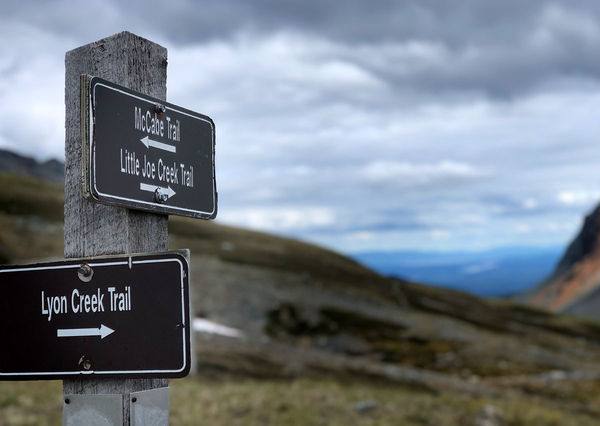
Summit Pass is marked by a simple signpost. This point is the headwaters for three major creek drainages in this range. From here, the trail straight ahead leads to Little Joe Lakes and out to Babine Lk Rd. Or turn to the right to join the Lyon Cr Trail as it takes a scenic roundabout route back to Driftwood Creek near where we started.
The high country around Summit Pass is great for alpine rambling and exploration.
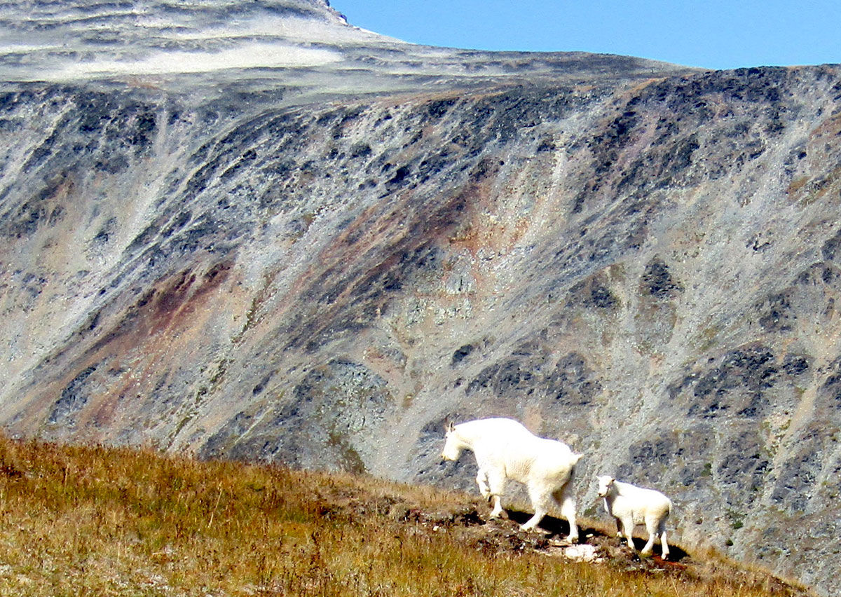
Wildlife common to this area includes marmots and mountain goats.
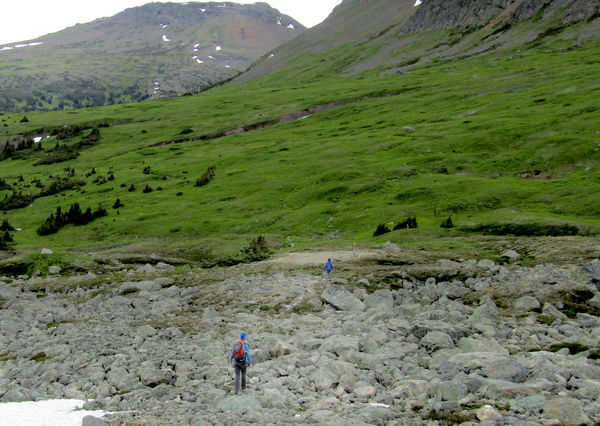
The Lyon Creek Trail from Summit Pass traverses boulder fields and lush meadows on its way to Ganokwa Lake.
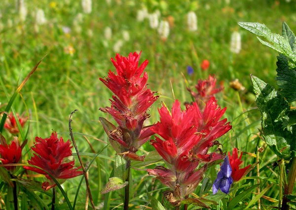
Brilliant alpine flowers fill the meadows at the right season.
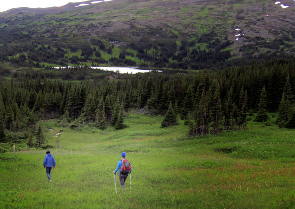
The descent to Ganokwa Lake is gradual, though sometimes the footing is in marshy ground. Ganokwa Lake is a good place to rest, or to set up camp.
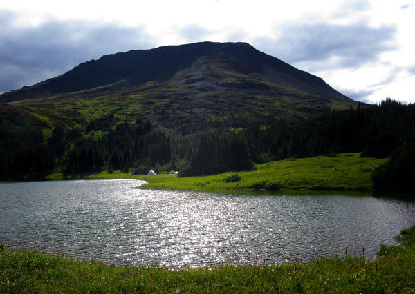
Wilderness campsite, complete with great views.
Looking back toward Ganokwa Lake as the trail climbs to Ramrock Pass.
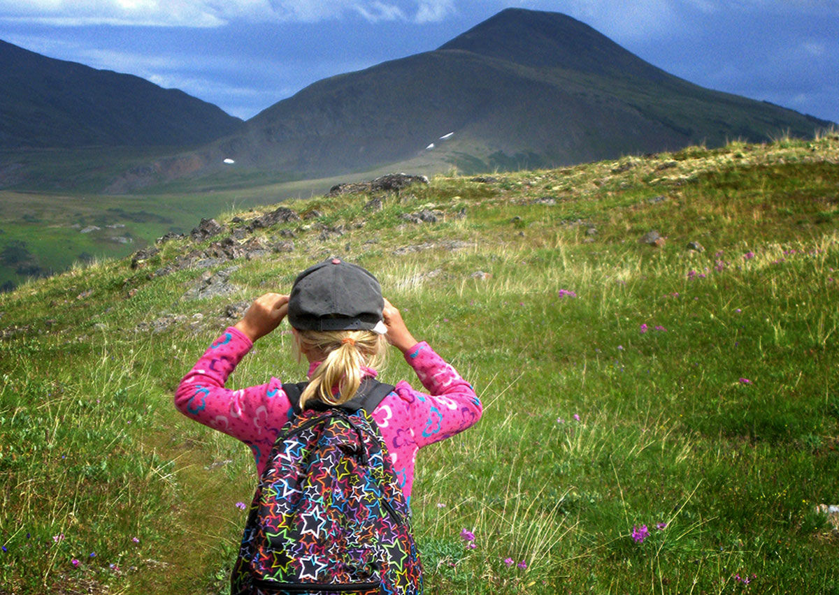
A young hiker looks back over the Ganokwa Basin from the height of Ramrock Pass before beginning the long descent to the trailhead on Driftwood Creek.
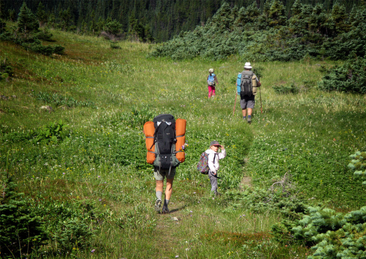
Time to go home: heading down the trail after a few days in the alpine.


Connect with us